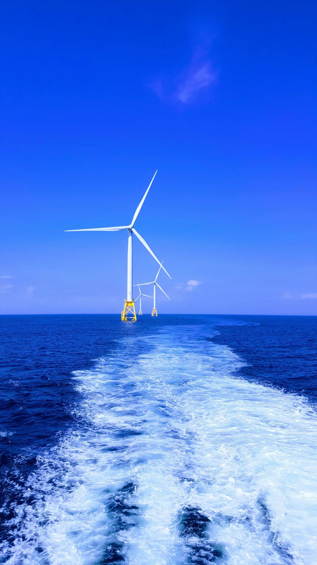
Wind LIDAR intelligence for wind energy
We design and deliver scanning LIDAR (dual and single setups), floating LIDAR and remote-sensing campaigns that turn the atmosphere into bankable data — powering the world's offshore wind transition.
150+
Measurement campaigns delivered
21
Years of specialist expertise
15 GW+
Offshore capacity supported
30+
Scanning LIDAR campaigns managed and delivered
Independent expertise where accuracy is everything
Offshore wind projects live or die on the quality of their wind data. For over two decades we've specialised in a single discipline — measuring the wind — so developers, investors and OEMs can make investment & engineering decisions with confidence.
Bankable & independent
Lender-ready reporting to IEC 61400 standards.
Offshore experienced
Long track-record of offshore measurement campaign delivery.
LIDAR-first
Extensive floating & scanning LIDAR expertise.
Always monitoring
24/7 remote oversight & data assurance.
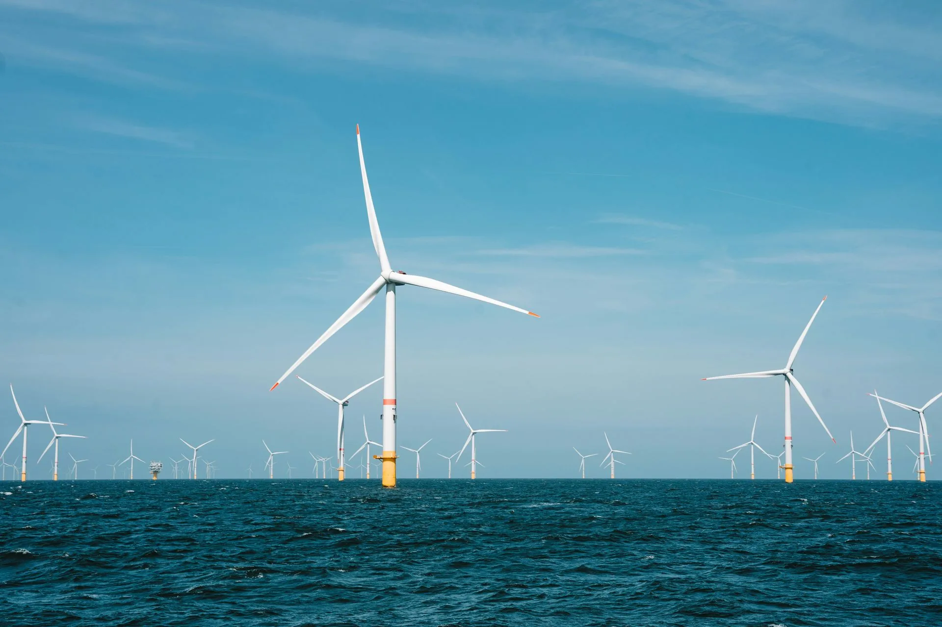
Full-lifecycle wind measurement services
Wind LIDAR: measuring the invisible
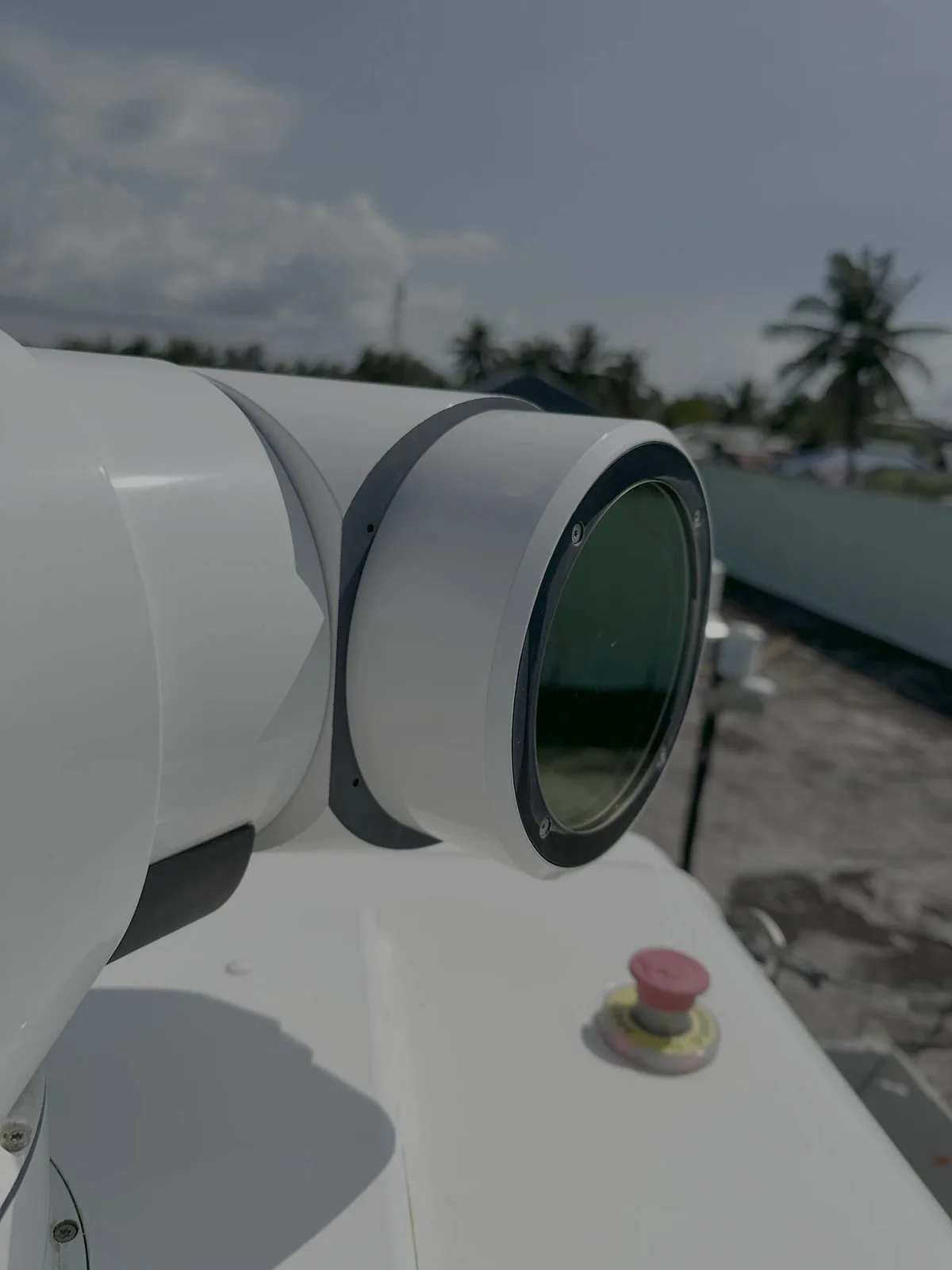
Light Detection and Ranging (LIDAR) fires laser pulses into the atmosphere and reads the backscatter from aerosols to measure wind speed and direction at hub height and beyond — producing high quality bankable wind datasets.
- Floating LIDAR Systems for cost-effective offshore campaigns
- Vertical profiling from 10 m to 300 m above sea level
- Scanning LIDAR for wind resource, TI, wake and other complex studies
Trusted across the offshore wind supply chain
Ready to de-risk your next wind measurement campaign?
Speak with our engineers about wind LIDAR deployment, offshore campaigns and bankable resource assessment tailored to your project.